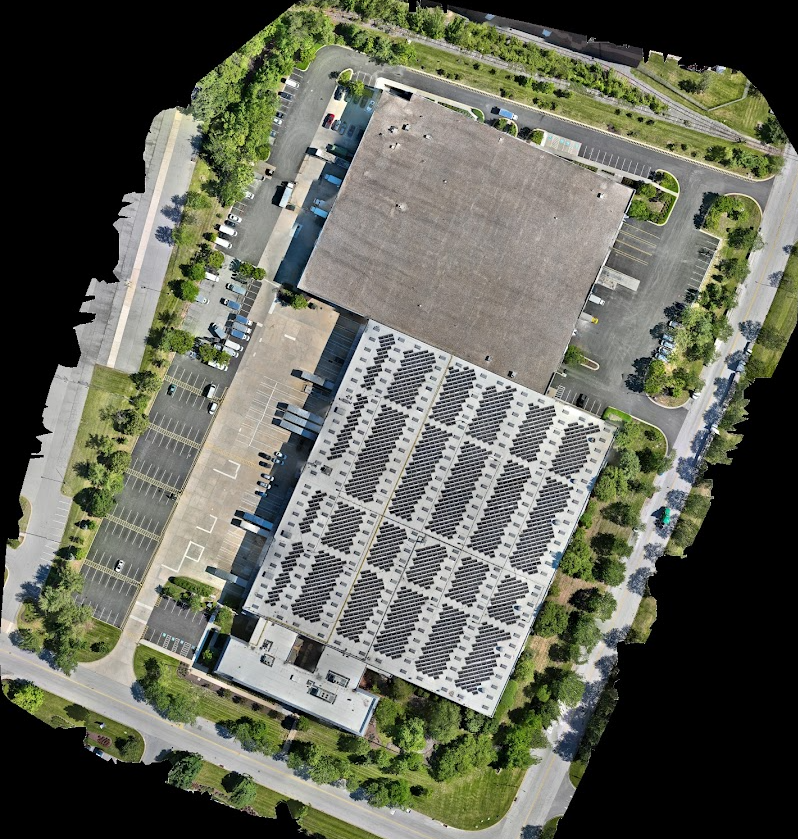
Warehouse Project
Delta Romeo successfully completed a high-resolution 2D aerial mapping project of a commercial warehouse using advanced drone technology. By capturing a series of overlapping georeferenced images, we produced a detailed orthomosaic map that provides an accurate, top-down representation of the entire facility.
This deliverable allows property owners, construction managers, engineers, and facility managers to efficiently assess building conditions, document existing site layouts, plan renovations, and maintain an accurate visual record of the property. Our aerial mapping process provides a faster, safer, and more cost-effective alternative to traditional survey methods while delivering exceptional image quality and precision